Fire & Tornado Season Is Here: How Emergency Agencies Coordinate Response in Real Time
By Jim Macedo, Chief Growth Officer, LeoSight | Sheriff, Calaveras County, San Andreas, California (ret.)
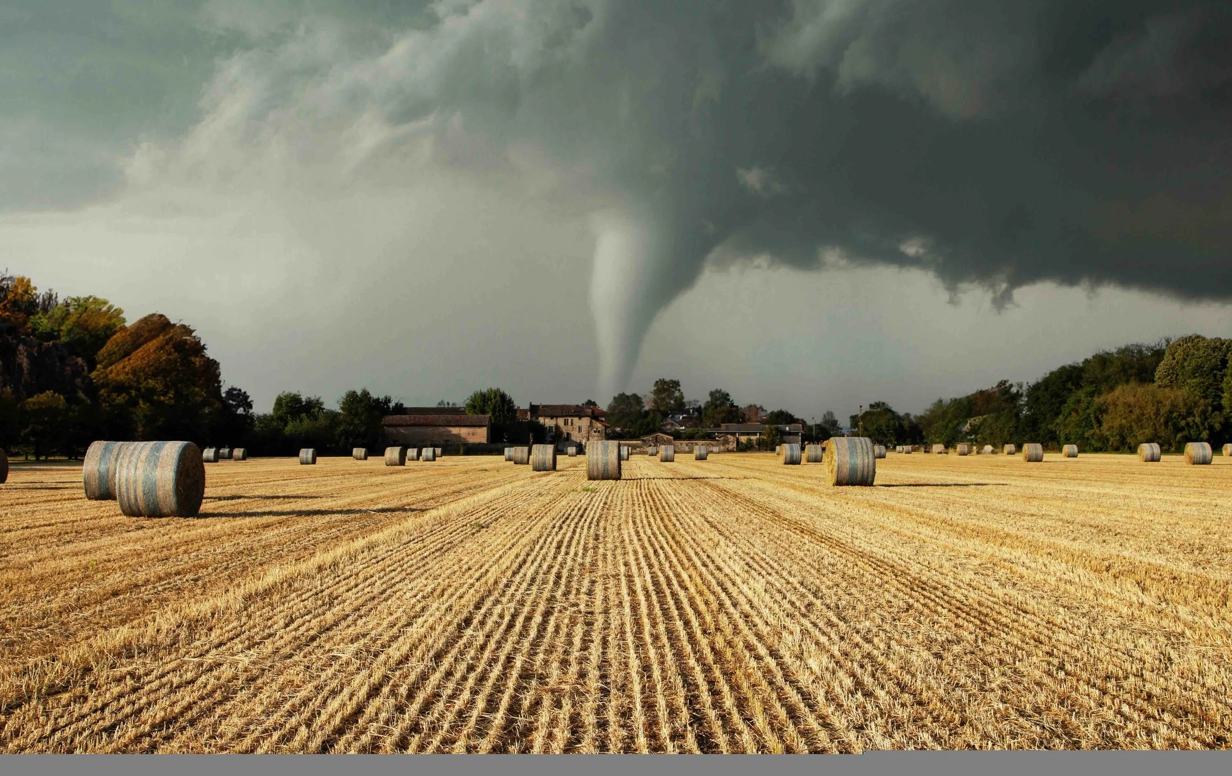
Already this spring, powerful tornadoes swept through the MidWest and South – including Illinois, Indiana, Texas, Arkansas, and Oklahoma – leaving communities dealing with damaged homes, blocked roads, and widespread power outages. As responders worked through the aftermath, another round of severe storms began forming across the Southeast and Mid-Atlantic this week.
For public safety agencies, tornadoes and fires are among the most difficult incidents to manage. They develop rapidly, move unpredictably, and often affect multiple jurisdictions at once.
Within minutes, law enforcement, fire, EMS, emergency management, utilities, and transportation departments may all be responding to the same event.
During my time serving as Sheriff in California, emergency management operations at the county level often reported directly through the Sheriff’s Office. That meant when wildfires, floods, or other disasters struck, the Sheriff’s Office was responsible not only for law enforcement operations, but also for helping coordinate the broader response across agencies, utilities and NGOs.
When events unfold quickly and involve multiple jurisdictions and disciplines, one thing becomes clear very quickly: Coordination determines the outcome.
When the Situation Changes by the Minute
When a fire starts or a tornado touches down, dispatch centers quickly begin receiving a surge of calls reporting damage, injuries, and trapped residents. First responders are trying to reach impacted areas while roads may be blocked by debris or downed power lines. Emergency managers are coordinating shelters and resource requests.
At the same time, command staff are trying to answer critical questions:
Where exactly did the fire/tornado start and what are the areas threatened and the related impacts?
Which areas require immediate evacuation/ search and rescue?
What roads are passable and which are closed?
Where are staging areas and shelters being established?
Which resources are already deployed and which are still available?
In many communities, these answers are still shared through radio traffic, phone calls, text messages, and spreadsheets, making it difficult to maintain clarity as conditions evolve.
Seeing What’s Happening in Real Time
Modern emergency response increasingly relies on information coming from many different sources, including:
Fixed and mobile cameras
Drones and Drone as First Responder (DFR) deployments used for rapid damage assessment
Sheriff/Police/Fire Aircraft
Automatic Vehicle Location (AVL) systems that provide visibility into the location of patrol vehicles, fire apparatus, and other response units
Location awareness for public safety personnel, helping command staff understand where officers, firefighters, and responders are operating in the field
Weather feeds and sensor networks
Updates from officers, firefighters, and emergency managers in the field
Photos and Videos from residents and others
The challenge is rarely a lack of information.
The real challenge is ensuring the right people can see what is happening as events unfold.
Communicating Across Agencies
Fire and Tornado response almost always requires coordination beyond a single department.
Local responders often need to work alongside:
Neighboring jurisdictions
State emergency management agencies
Utility providers
Transportation and public works departments
Hospitals and medical transport providers
Federal partners
During large incidents, agencies frequently rely on informal text threads or consumer messaging apps to share photos, video, and updates. While convenient, those tools can create risks around security, accountability, and record keeping.
Secure communication across agencies is becoming increasingly important for effective incident management.
Acting as One Team
Visibility and communication are only part of the equation.
Search and rescue operations, road closures, shelter coordination, damage assessments, and resource deployments all need to be organized and tracked as the situation evolves.
When agencies can see the same information, communicate securely, and coordinate tasks together, they are able to move faster and reduce confusion during some of the most critical moments of an incident.
This approach reflects the See, Talk, Act framework that many public safety organizations are adopting to support real-time operations.
You can explore additional perspectives on real-time public safety coordination on the LeoSight blog.
Preparing Before the Next Fire or Storm
The tornado outbreaks across the Midwest and South, and the threat of severe weather on the horizon, are reminders that communities can shift from routine operations to full-scale emergency response in minutes.
Preparation does not begin when the sirens sound. It begins with ensuring agencies have the coordination and communication capabilities in place long before severe weather arrives.
If you’re interested in seeing how the LeoSight platform supports real-time coordination during severe weather and other major incidents, please reach out to me or my team at jmacedo@leosight.com or request a demo.